Frisco residents should plan for a wet night and check road conditions before leaving Thursday morning as slow-moving storms spread east across North Texas.
The National Weather Service’s Wednesday forecast puts the greatest flash-flood risk in western North Texas this evening, shifting toward the Interstate 35 corridor overnight and early Thursday. Frisco lies east of that corridor; the regional progression is a planning guide, not an exact arrival time for a neighborhood.
The flood watch for Collin and Denton counties begins at 4 p.m. Wednesday, Sept. 30, and continues through 7 a.m. Friday, Oct. 2. That window is unchanged from Tuesday night’s report. Wednesday’s 4:40 a.m. watch update calls for 2–4 inches across the affected region, with localized totals of 5–7 inches possible. Those higher totals are a possibility somewhere in the watch area, not a forecast for every Frisco street.
The overnight timing matters for anyone traveling early Thursday. Keep weather alerts audible, allow room to change routes and never drive into water covering a road. A flood watch means conditions could produce flooding; it does not establish that a particular crossing is flooded or closed.
At 9:33 a.m. CDT Wednesday, the National Weather Service’s active-alert listing showed the flood watch for Collin and Denton counties, with no flash-flood, tornado or severe-thunderstorm warning listed for either county at that check. Conditions can change quickly. Check the latest official alerts before traveling.
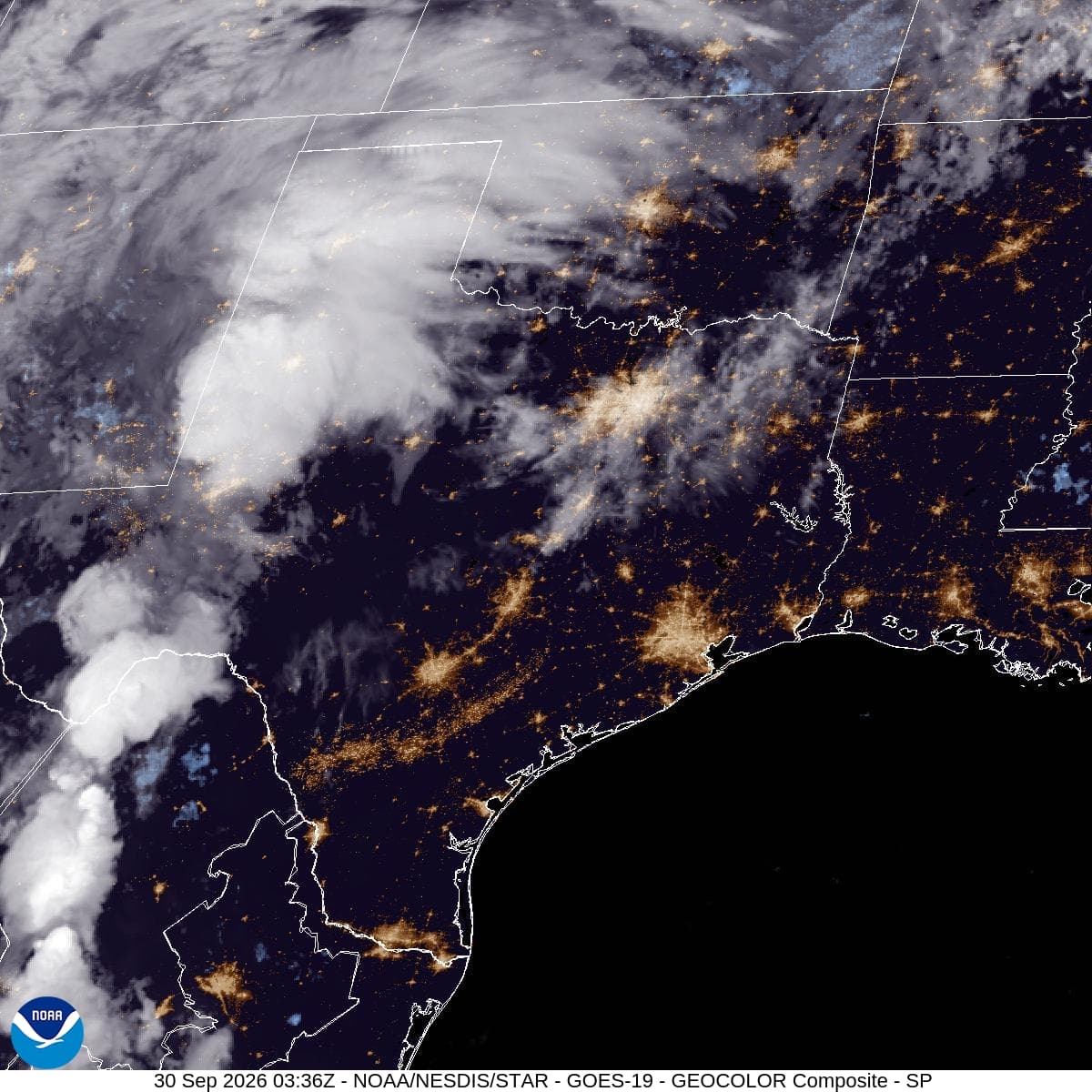
Satellite image: GOES-19 GeoColor composite of the Southern Plains at 9:21 a.m. CDT Wednesday, Sept. 30, 2026. Credit: NOAA/NESDIS/STAR. The image shows cloud cover, not forecast rainfall totals.