Back to Weather

5-day forecast / Frisco, TX

MondaySlight Chance Showers And Thunderstorms92° / 74° 18%
TuesdayMostly Sunny94° / 75° 9%
WednesdayMostly Cloudy then Chance Showers And Thunderstorms94° / 74° 49%
ThursdayShowers And Thunderstorms84° / 70° 89%
FridayShowers And Thunderstorms Likely79° / 67° 74%

Frisco Weather: Air Quality Alert Active Amid Warm, Humid Afternoon - Sep 28, 2 PM

Frisco weather, refreshed every four hours — local forecasts you can plan your day around.

An Air Quality Alert is active in Frisco. Current temperatures are 86F with a feels-like of 89F. Expect a high near 92F today and 94F tomorrow, with slight storm chances and strong gusts tomorrow.

Camille Rourke

September 28, 20262 min read

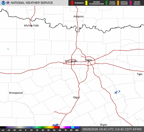
National Weather Service radar for North Texas (KFWS)

*As of Sep 28, 2 PM local time.*

Current Conditions and Air Quality

An Air Quality Alert is currently active for the Frisco area, issued by the National Weather Service. Residents should stay informed about air quality levels, especially if they have respiratory sensitivities. As of this afternoon, the air temperature stands at 86F, though it feels like 89F due to humidity.

Relative humidity is at 55%, with a dew point of 68F. Winds are blowing from the southeast at 9 mph, with gusts reaching 11 mph. The sky is mostly cloudy, creating a warm and somewhat muggy atmosphere typical for this time of year.

Today and Tonight Outlook

Today’s high is expected to reach near 92F, while the low will drop to around 74F. There is an 18% chance of precipitation, with a slight risk of showers and thunderstorms developing after 4 pm. Heat index values may climb as high as 97F, so staying hydrated is important.

Tonight, the sky will be partly cloudy with a low near 74F. A slight chance of showers and thunderstorms exists before 7 pm, with a 20% chance of precipitation. Winds will continue from the southeast at around 10 mph.
Tomorrow’s Forecast

Tomorrow will bring slightly warmer temperatures, with a high near 94F and a low around 75F. The sky will be mostly sunny, and the chance of precipitation drops to just 9%. However, winds will pick up significantly, shifting to a south-southeast direction at 10 to 15 mph, with gusts potentially reaching 30 mph.

Heat index values could soar to 100F, making the air feel much hotter than the actual temperature. Residents are advised to limit outdoor exertion during peak afternoon hours and stay well-hydrated. Check on neighbors who may be vulnerable to the heat, and keep an eye on the air quality alert status throughout the day.

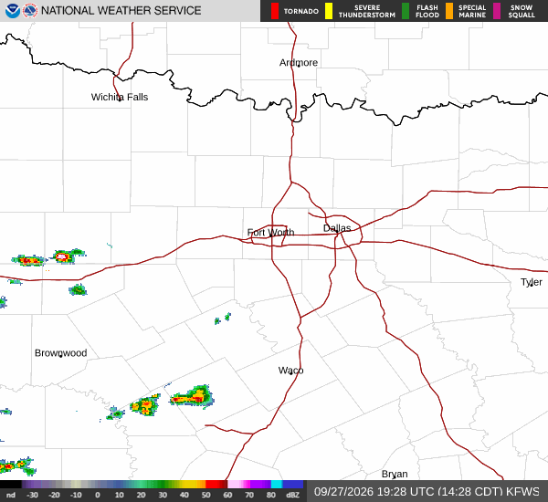
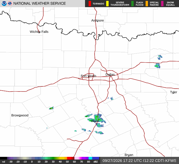
National Weather Service radar for North Texas (KFWS)

Sources

National Weather Service radar

National Weather Service forecast data

Open-Meteo weather data

Share

Camille Rourke

Camille Rourke covers community life, events, and neighborhood features around Frisco.

Related Stories

More in Sport