*As of Oct 1, 2 PM local time.*
Severe Flood Watch in Effect
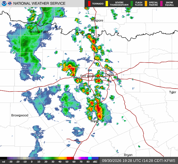
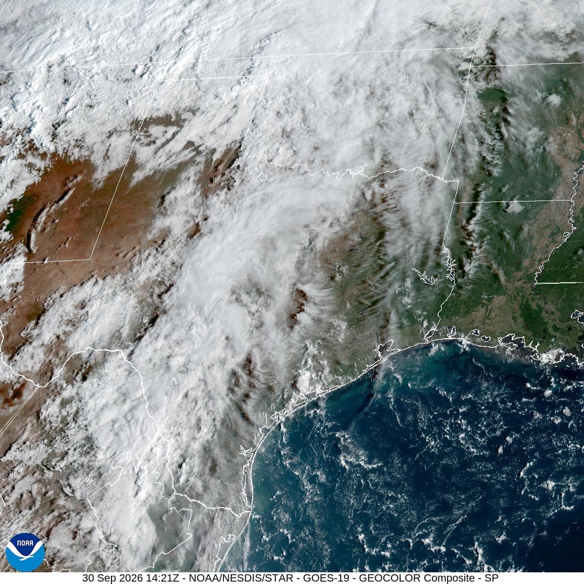
A severe Flood Watch is currently active for the Frisco area, issued by the National Weather Service in Fort Worth. This alert remains in effect until early tomorrow morning. Residents should stay alert for potential flooding as heavy rainfall accumulates over the next several hours.
The current atmosphere is notably muggy, with a dew point of 72F and relative humidity at 94%. The air temperature is 73F, feeling like 75F, while light rain is falling under a cloudy sky. Winds are blowing from the south southeast at 9 mph, with gusts reaching the same speed.
Rainfall and Temperature Outlook
Showers and thunderstorms are likely to continue before 4pm, followed by a persistent chance of storms for the rest of the day. The high will remain near 76F. Tonight, the chance of precipitation rises to 80%, with new rainfall amounts between one and two inches possible.
Temperatures will stay cool, dropping to around 70F before rising to 73F overnight. Winds will shift to the southeast at 5 to 10 mph. Tomorrow brings continued showers and thunderstorms with an 80% chance of precipitation.
The high will again be near 76F, with temperatures falling to 74F in the afternoon. Northeast winds will blow at 5 to 10 mph, with gusts as high as 20 mph. Another one to two inches of rain is possible tomorrow.