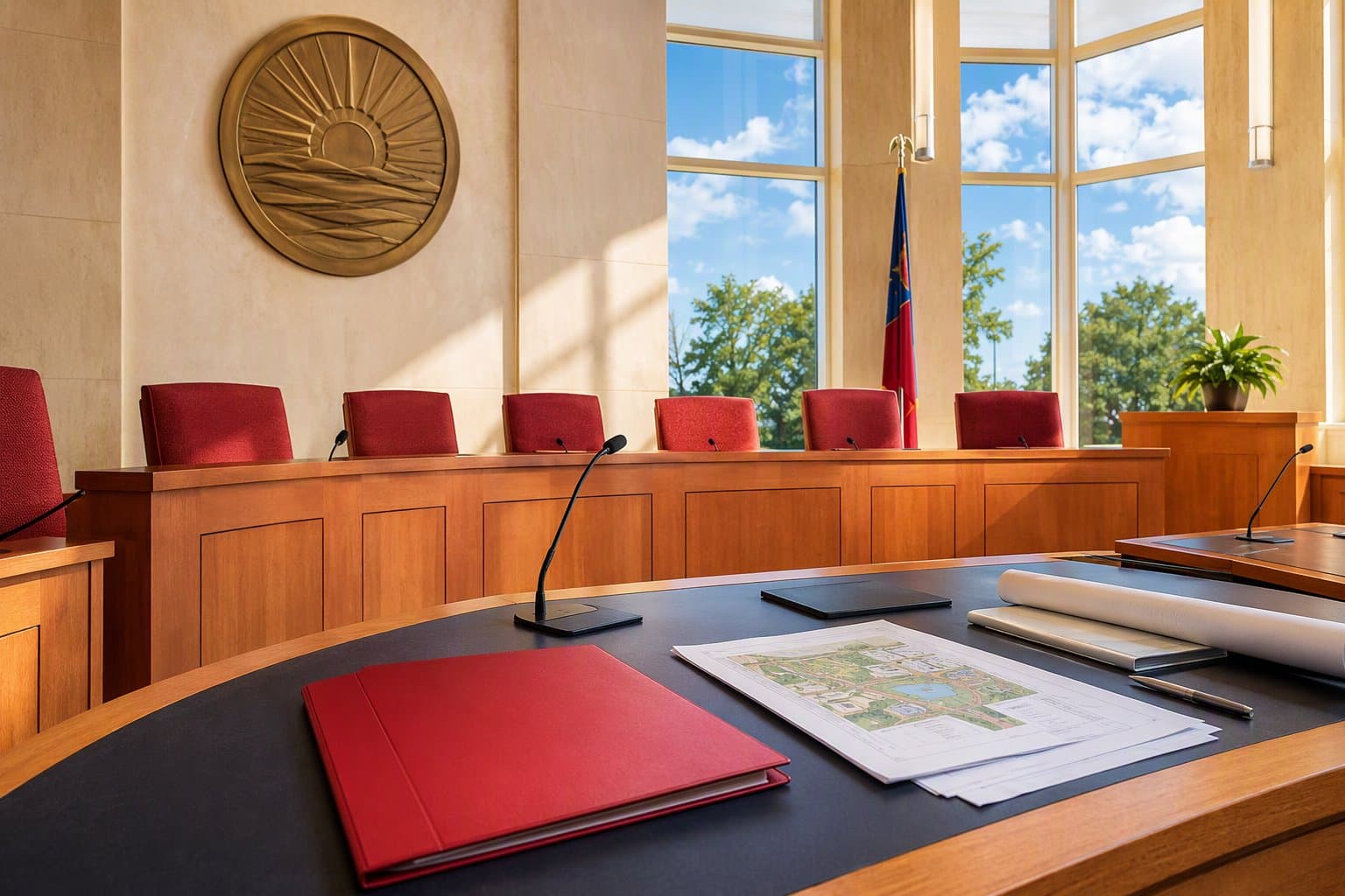
In 2008, Frisco ISD was about to spend $350,000 on school floor plans.
The plan was reasonable enough for its time. The district would buy the floor plan data and hand it to the city on CDs, so that firefighters and police responding to a school emergency would have something to look at. The contract was pending before the FISD board.
Then Fire Chief Mack Borchardt asked the board to hold off.
What he objected to
Not the price. Two other things.
The first was training. If responders had a special set of materials and a special procedure for schools, then school incidents would be handled differently from every other call they ran. Borchardt wanted the response to a school emergency to look as much as possible like the response to anything else, so that nobody needed one-off training to be ready.
The second was decay. Discs would have to be produced for every fire apparatus and every police vehicle in the city, then replaced every time a building changed. His judgment was that the effort would be laborious, administratively heavy, and therefore unlikely to stay current.
He had worked with the city's IT department for years and believed they could build something on the geographic information systems the city already ran. The board delayed. In January 2008 the two organisations began scoping the problem, and the work became an interlocal agreement between the district and the city.
What they built
SAFER, for Situational Awareness For Emergency Response.
A responder can pull up a school from a squad car or a fire truck and see geo-referenced floor plans marked with room numbers, the nurse's office, the administration office, roof access, where hazardous chemicals are stored, and where special-needs students are located. Current contact details for school administrators sit alongside it.
So do live feeds from the building's cameras, of which the city counted more than 1,500 at the time.
The point is the timing. Responders can begin planning the approach while still driving.