As of Jun 6, 12 PM local time.
Active Alert and Current Conditions
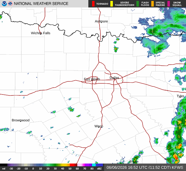
A severe Flood Watch is currently in effect for Frisco, Texas, issued by the National Weather Service in Fort Worth. This alert remains active until June 7 at 4:00PM CDT, signaling a period where heavy rainfall could lead to flooding. Residents should remain vigilant as conditions evolve.
Right now, the atmosphere is quite heavy with moisture. The air temperature sits at 79F, but the heat index makes it feel like 87F. Relative humidity is high at 81%, with a dew point of 73F. The sky is completely overcast, and winds are blowing from the south at 9 mph, with gusts reaching up to 10 mph.
Forecast for Today and Tonight
Today, Frisco can expect a high near 86F and a low near 74F. There is a 67% chance of precipitation, with rain showers expected throughout the day. The National Weather Service indicates a chance of showers and thunderstorms, with partly sunny intervals possible.
South winds will hover around 10 mph. Rainfall amounts between a tenth and a quarter of an inch are possible during this period.
Tonight, the chance of rain remains significant. Showers and thunderstorms are likely, particularly before 1am, with a 60% chance of precipitation. Temperatures will drop to a low around 73F. Winds will continue from the south-southeast at around 10 mph. Residents might see new rainfall amounts between a quarter and half of an inch. The sky will remain mostly cloudy as the night progresses.