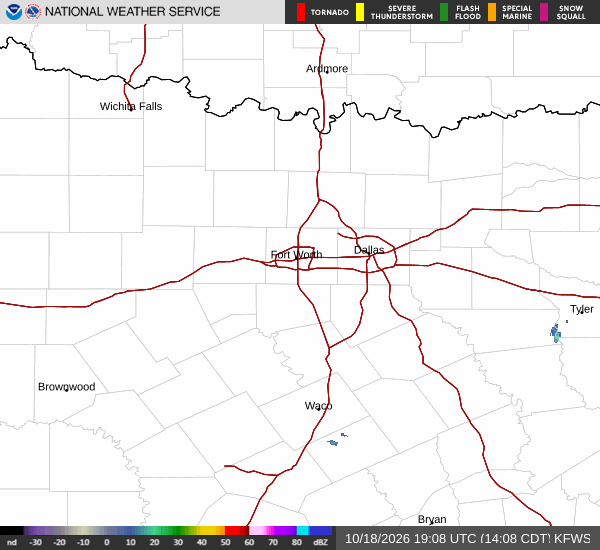
As of Jul 5, 4 PM local time.
Active Alerts and Current Conditions
A Severe Thunderstorm Watch is currently in effect for Frisco, Texas. This alert indicates conditions are favorable for the development of severe thunderstorms. The watch was issued by the National Weather Service in Fort Worth and remains active until 10:00 PM CDT today.
Right now, the air temperature in Frisco is 88F, but the heat index makes it feel like 98F. The atmosphere is holding significant moisture, with a dew point of 75F and relative humidity at 66%. Winds are light from the east at 7 mph, with gusts reaching 5 mph. The sky is mostly cloudy as we move through this afternoon.
Forecast for Today and Tonight
Temperatures will climb to a high near 99F today. As the day progresses, the heat index is expected to reach as high as 104. There is a 41% chance of showers and thunderstorms.
The National Weather Service indicates a chance of these storms before 1am tonight. Rainfall amounts between a tenth and a quarter of an inch are possible. Highs will fall to around 96F in the afternoon before dropping to a low near 77F tonight.
Overnight, temperatures may rise slightly to around 79F. The heat index will remain elevated, with values as high as 102. Winds will continue from the east southeast at around 5 mph.
Outlook for Tomorrow
Conditions will improve significantly by tomorrow. The sky will be sunny with a high near 97F. The heat index will still be notable, reaching up to 103.