Back to Weather

5-day forecast / Frisco, TX

WednesdayMostly Sunny104° / 81°
ThursdaySunny104° / 81° 12%
FridayMostly Sunny104° / 81° 6%
SaturdaySunny104° / 81° 5%
SundaySunny105° / 82° 2%

Frisco Under Extreme Heat Warning as Temperatures Hit 100F - Aug 19, 2 PM

Frisco weather, refreshed every four hours — local forecasts you can plan your day around.

An Extreme Heat Warning is active for Frisco. Current conditions show 100F air temperature with a heat index near 101F. Residents should stay hydrated and limit outdoor activity during peak heat hours.

Camille Rourke

August 19, 20262 min read

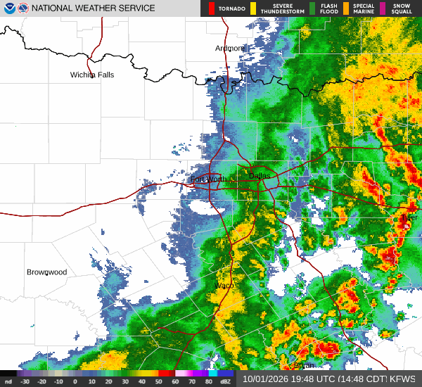
National Weather Service radar for North Texas (KFWS)

*As of Aug 19, 2 PM local time.*

Severe Heat Warning Active

An Extreme Heat Warning is currently in effect for the Frisco area, issued by the National Weather Service in Fort Worth. This severe alert remains active until 8:00 PM CDT on August 20. The current conditions reflect the intensity of this event, with the air temperature sitting at 100F and the feels-like temperature at 101F.

The sky is clear, and relative humidity is low at 26%, with a dew point of 59F. Winds are light at 5 mph, with gusts reaching 13 mph. These dry, hot conditions are typical for the region during this time of year, but the sustained high temperatures require caution.

Today and Tonight Outlook

For the remainder of today, the weather will remain mostly sunny. The high temperature is expected to reach near 104F, with heat index values potentially climbing as high as 107F. The chance of precipitation is 0%, ensuring dry conditions.

Southwest winds will blow around 10 mph. As night falls, the sky will stay mostly clear. Temperatures will drop to a low near 81F, though they may rise slightly to around 83F overnight.

The heat index could reach 106F, and south winds will continue at around 10 mph. This lack of significant cooling overnight means the heat will persist into the next day.

Tomorrow's Forecast

Tomorrow will bring similar conditions, with a sunny sky and a high near 104F. The heat index is expected to reach as high as 106F. There is a 12% chance of precipitation, but rain is unlikely to be a major factor.

Southwest winds will range from 5 to 10 mph. Given the sustained high temperatures and heat index values, it is crucial to take standard safety precautions. Residents should drink plenty of water, limit strenuous outdoor activities during the hottest parts of the day, and check on vulnerable neighbors or family members who may be more susceptible to heat-related illness.

Staying indoors in air-conditioned spaces when possible is recommended to avoid heat exhaustion.

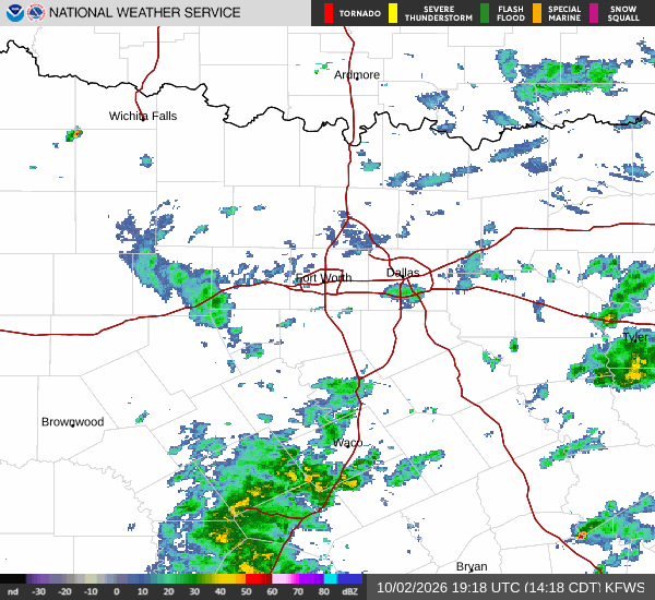
National Weather Service radar for North Texas (KFWS)

Sources

https://radar.weather.gov

https://api.weather.gov

https://open-meteo.com

Share

Camille Rourke

Camille Rourke covers community life, events, and neighborhood features around Frisco.

Related Stories

More in Sport