Back to Weather

5-day forecast / Frisco, TX

WednesdaySunny100° / 80° 2%
ThursdaySunny then Chance Showers And Thunderstorms99° / 79° 46%
FridayMostly Sunny99° / 79° 14%
SaturdaySunny100° / 79°
SundaySunny99° / 79° 1%

Frisco Heat Advisory: Highs Near 100F, Storms Possible Tomorrow - Sep 9, 2 PM

Frisco weather, refreshed every four hours — local forecasts you can plan your day around.

A Heat Advisory is active for Frisco as temperatures reach 95F. Today will be sunny with a high near 100F. Tomorrow brings a chance of showers and thunderstorms after 1pm.

Camille Rourke

September 9, 20262 min read

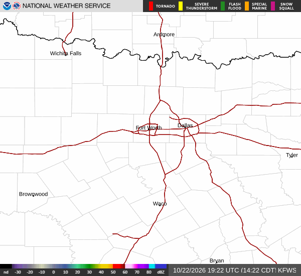
National Weather Service radar for North Texas (KFWS)

*As of Sep 9, 2 PM local time.*

Current Heat Conditions

A Heat Advisory is currently in effect for the Frisco area, issued by the National Weather Service in Fort Worth. This moderate-severity alert is expected to remain active until 8:00 PM CDT. Residents should be aware that the current air temperature is 95F, but the heat index makes it feel like 98F.

Relative humidity stands at 39%, with a dew point of 66F. Winds are light at 5 mph, with gusts reaching 10 mph, and the sky is partly cloudy. The combination of high temperatures and low humidity creates dry heat conditions that can still pose significant health risks, particularly for those spending extended time outdoors.

Today and Tonight Outlook

The forecast for today indicates sunny skies with a high near 100F. The heat index values are expected to reach as high as 107F, emphasizing the need for caution. The chance of precipitation is minimal at 2%.

As evening approaches, temperatures will drop to a low near 80F. The sky will remain mostly clear, and heat index values will stay elevated at 104F. South winds will continue to blow around 10 mph.

This persistent warmth overnight means the heat will not dissipate quickly, requiring continued vigilance regarding hydration and indoor cooling.
Tomorrow's Forecast

Tomorrow will see a high near 99F with sunny conditions initially. However, the weather pattern shifts later in the day. A chance of showers and thunderstorms is expected after 1 PM.

The overall chance of precipitation is 50%, with new rainfall amounts likely to be less than a tenth of an inch. Heat index values will reach 106F before the storms arrive. Winds will ease to around 5 mph from the south.

As the day progresses into the evening, the chance of storms continues before 1 AM. The low temperature will be around 79F, though temperatures may rise to 81F overnight. East southeast winds will range from 5 to 10 mph.

Given the mix of extreme heat and potential thunderstorms, residents should stay updated on local conditions and take standard safety precautions, such as staying hydrated and limiting midday exertion.

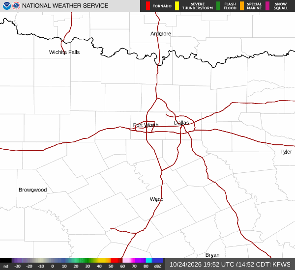
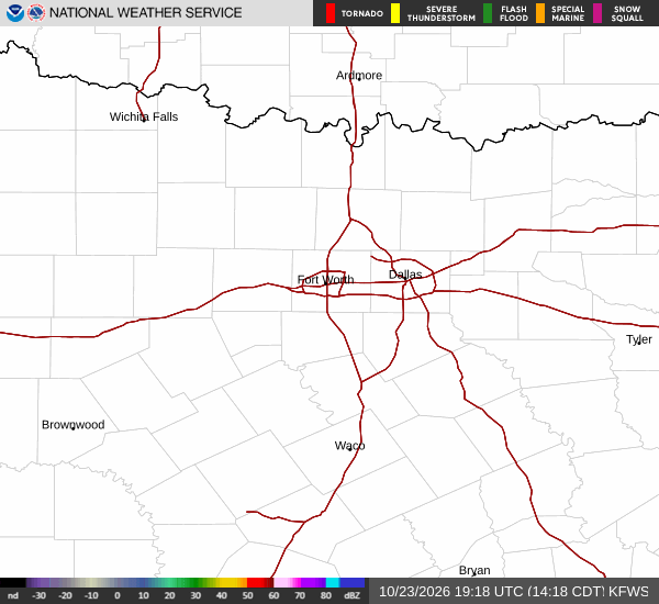
National Weather Service radar for North Texas (KFWS)

Sources

https://radar.weather.gov

https://api.weather.gov

https://open-meteo.com

Share

Camille Rourke

Camille Rourke covers community life, events, and neighborhood features around Frisco.

Related Stories

More in Sport