As of Jun 13, 8 AM local time.
Oppressive Humidity and Heat Today
Residents in Frisco are facing an oppressively humid start to the day. The current air temperature sits at 79F, but the heat index makes it feel like 82F. Relative humidity is at 89%, with a dew point of 75F, creating a muggy atmosphere. Winds are blowing from the south southwest at 9 mph, with gusts reaching 19 mph, under a clear sky.
Today, the heat will intensify significantly. Expect a high near 95F, with heat index values climbing as high as 102. The sky will be mostly sunny, offering little relief from the sun.
Winds will pick up slightly, becoming south southwest at 10 to 15 mph, with gusts as high as 25 mph. The chance of precipitation is minimal at 6%, so the primary concern remains the stifling heat and humidity.
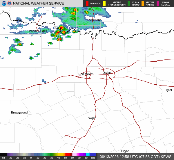
Storms Return Tomorrow
Conditions will shift dramatically as tomorrow approaches. A high near 88F is forecast, but the real change is the arrival of moisture. Showers and thunderstorms are likely, with a 60% chance of precipitation. New rainfall amounts between a tenth and quarter of an inch are possible during the day. Winds will shift to the west northwest at 5 to 10 mph.
Tonight, the humidity will linger with a low around 79F, though temperatures may rise to around 81 overnight. Heat index values could reach 100. There is a slight chance of showers and thunderstorms after 4am, with a 20% chance of precipitation overall. Skies will be partly cloudy.