*As of Oct 15, 2 PM local time.*
Current Conditions and Alert Status
A Wind Advisory is currently active for the Frisco area, issued by the National Weather Service. This moderate-severity alert is expected to remain in effect until tomorrow evening. Residents should be prepared for strong winds and gusts that could impact outdoor activities and travel.
Currently, the air temperature stands at 86 degrees Fahrenheit, but the combination of 59 percent relative humidity and a dew point of 70 degrees makes it feel like 91 degrees. The sky is partly cloudy, with winds blowing at 10 miles per hour. The notable humidity levels contribute to the muggy feel, so staying hydrated is a sensible precaution during this period.
Today and Tonight Outlook
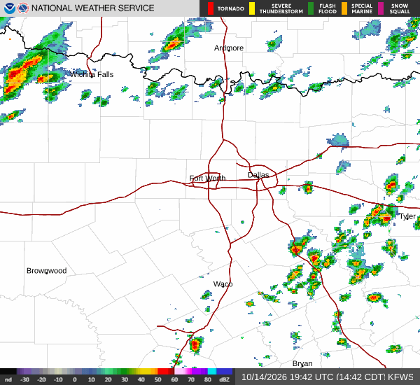
The high temperature today is expected to reach near 88 degrees. There is a 25 percent chance of precipitation, with showers and thunderstorms possible after 4 p.m. As evening approaches, the likelihood of storms increases to 50 percent.
Showers and thunderstorms are likely before 7 p.m., with additional chances between 7 p.m. and 10 p.m. The sky will remain mostly cloudy. Temperatures will fall to a low near 55 degrees, though they may rise to around 59 degrees overnight.
Winds will shift to the north, ranging from 5 to 25 miles per hour, with gusts potentially reaching 35 miles per hour. Rainfall amounts are expected to be between a tenth and a quarter of an inch.